Trending...
- 450 Million Revenue Run Rate, Global Telecom Reach and a New Digital Growth Opportunity Take Center Stage: IQSTEL, Inc. (N A S D A Q: IQST)
- Canada's First Data Lakehouse Goes Global in Banking: Nabil Bank Becomes Nepal's First Bank to Implement a True Agentic Lakehouse Platform, DataNature
- RAS AP Consulting Releases Educational Resource to Help Organizations Prepare for IRS FIRE-to-IRIS Transition
ASHEVILLE, N.C., July 21, 2021 /PRNewswire/ -- Ecobot, the transformative environmental data reporting platform, has been selected as one of 16 Esri partners to be featured on the ArcGIS Marketplace. ArcGIS, a geographic information system (GIS) application developed and maintained by industry leader Esri, has chosen "sustainability" as the overarching theme for the products that will be featured from July through September.
"On behalf of the Ecobot team, we are pleased with the opportunity to be featured on the ArcGIS Marketplace as they spotlight the importance of sustainability," said Lee Lance, CEO of Ecobot. "With an increasingly heightened awareness of the impacts of climate change, accurate and efficient wetland mapping and data collection are more critical than ever in the construction planning and engineering process, and we're thrilled to play a role in these efforts."
More on ncarol.com
The Ecobot app is the only natural resources consulting software to bring true efficiency and accuracy to wetland scientists in architectural, engineering and construction (AEC), as well as natural resources consulting firms, utility, oil, and gas companies and more. It is used by thousands of consultants to delineate wetlands for jurisdictional determination.
In 2020, Ecobot announced its partnership with Esri to integrate the company's enhanced GIS mapping and data capabilities. The collaboration also enabled the addition of familiar geospatial modeling, mapping, georeferencing, and data collection capabilities within the app. These capabilities also further automated the process of wetland delineations, allowing Ecobot customers to support paperless mapping of wetlands by enabling scientists and engineers to walk the perimeter of a wetland, dropping virtual flags with a tap to the screen.
Ecobot is available for download on the Apple Store. To learn more, visit ecobotapp.com or the Esri ArcGIS Marketplace.
More on ncarol.com
About Ecobot
Ecobot empowers the AEC and environmental consulting industry to better serve their clients by reducing the time and expenses required to complete environmental regulatory reporting, while providing certainty through more accurate reporting. Field scientists make critical decisions that inform land use and use Ecobot to submit thousands of wetland delineation reports to the USACE each month. See how Ecobot can transform your natural resources consulting workflow at ecobotapp.com.
Media Contact
Alexis Quintal
[email protected]
Related Images
ecobot-app.jpg
Ecobot App
SOURCE Ecobot App
"On behalf of the Ecobot team, we are pleased with the opportunity to be featured on the ArcGIS Marketplace as they spotlight the importance of sustainability," said Lee Lance, CEO of Ecobot. "With an increasingly heightened awareness of the impacts of climate change, accurate and efficient wetland mapping and data collection are more critical than ever in the construction planning and engineering process, and we're thrilled to play a role in these efforts."
More on ncarol.com
- Control & Co. Launches Digital Audit Readiness Toolkit for Small Businesses
- Zazie Productions Brings Experimental Sound Art to Psychological Horror Film Scoring
- Tek84 Unveils New Brand Identity Built to Magnify What Security Officers Can Do
- CoreVar Announces Cooking with AI, an Eight-Topic Live Webinar Series
- Mr Hospital Bed Cites Hill Rom Hospital Bed Models Best Value Home Care Hospital Beds 2026
The Ecobot app is the only natural resources consulting software to bring true efficiency and accuracy to wetland scientists in architectural, engineering and construction (AEC), as well as natural resources consulting firms, utility, oil, and gas companies and more. It is used by thousands of consultants to delineate wetlands for jurisdictional determination.
In 2020, Ecobot announced its partnership with Esri to integrate the company's enhanced GIS mapping and data capabilities. The collaboration also enabled the addition of familiar geospatial modeling, mapping, georeferencing, and data collection capabilities within the app. These capabilities also further automated the process of wetland delineations, allowing Ecobot customers to support paperless mapping of wetlands by enabling scientists and engineers to walk the perimeter of a wetland, dropping virtual flags with a tap to the screen.
Ecobot is available for download on the Apple Store. To learn more, visit ecobotapp.com or the Esri ArcGIS Marketplace.
More on ncarol.com
- WOWX labs Closes US$10 Million Founder-Led Growth Financing as WOWX.market Enters Scale Phase
- BESTBUYSTORE opens its dropshipping model to independent merchants
- America's Hometown Thanksgiving Parade in Plymouth, MA, on Saturday, November 21, 2026
- Navigating a Changing Market: How AIX Group Is Responding to a Challenging Year
- 450 Million Revenue Run Rate, Global Telecom Reach and a New Digital Growth Opportunity Take Center Stage: IQSTEL, Inc. (N A S D A Q: IQST)
About Ecobot
Ecobot empowers the AEC and environmental consulting industry to better serve their clients by reducing the time and expenses required to complete environmental regulatory reporting, while providing certainty through more accurate reporting. Field scientists make critical decisions that inform land use and use Ecobot to submit thousands of wetland delineation reports to the USACE each month. See how Ecobot can transform your natural resources consulting workflow at ecobotapp.com.
Media Contact
Alexis Quintal
[email protected]
Related Images
ecobot-app.jpg
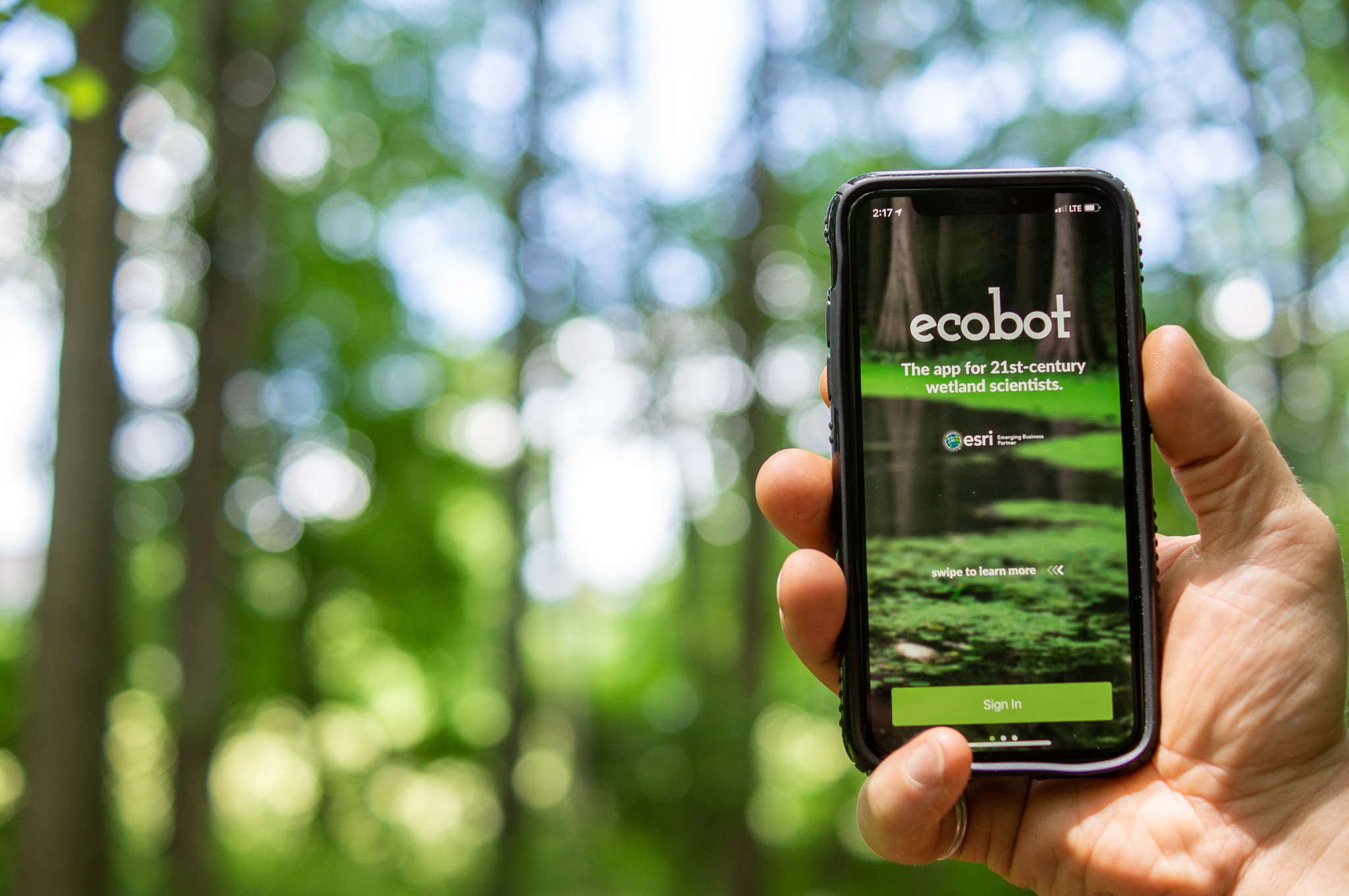
Ecobot App
SOURCE Ecobot App
Filed Under: Business
0 Comments
Latest on ncarol.com
- National Literacy and Workforce Readiness Crisis Sparks New Program Launching in Birmingham
- New England Consulting Partners Celebrates 25 Years of Turnaround Management Solutions
- RAS AP Consulting Releases Educational Resource to Help Organizations Prepare for IRS FIRE-to-IRIS Transition
- Roots, Rhythm & Joy Invites Neighbors to Find Community Through Music
- Former Goddard Enterprises Managing Director Anthony Ali Joins STS Capital Partners as Managing Director and Partner
- Disney Streamer Network Establishes Creator Code of Conduct
- Heritage at Manalapan Announces Limited-Time Mortgage Rate Buydown on Select Quick Move-In Homes
- Good Organics Now at Pop Up Grocer NYC With October 30 Sampling Event
- KeysCaribbean Announces Temporarily Reduced Rates At Village at Hawks Cay Villas
- Commercial Manufacturing Validation Completed as November 10 FDA Milestone Approaches; Critical FDA Milestone Close: NRx Pharmaceuticals NAS DAQ: NRXP
- Electives Launches "Electives for Everyone," Making Live Expert-Led Learning Available to Every Employee
- Tax Tops the List as Wealthy Brits Plan Their Exit, La Vida Survey Finds
- KayeDinero Drops "CyberLeek" Amid GTA VI Headlines, Unveils Asheville "Barksdale" Visual
- "The Tree of Cinema" Installation Brought Film History and Its Audiences Together at TIFF 2026
- Household Staffing Named 2026 Agency of the Year by the Association of Premier Nanny Agencies
- Detroit Lawyer Steals $600,000 Settlement Meant to Protect Child
- Missing a Tooth? Chapel Hill's Everbright Dental Explains Implants, Bridges and Dentures
- Heritage at South Brunswick Announces Special Townhome Mortgage Rate Buydown
- Heritage at Hopewell Announces Limited-Time Mortgage Rate Buydown on Select Quick Move-In Townhomes
- Air Force Veteran Sean Douglas Delivers Powerful Suicide Prevention Presentations to Hundreds of Marines at Camp Pendleton